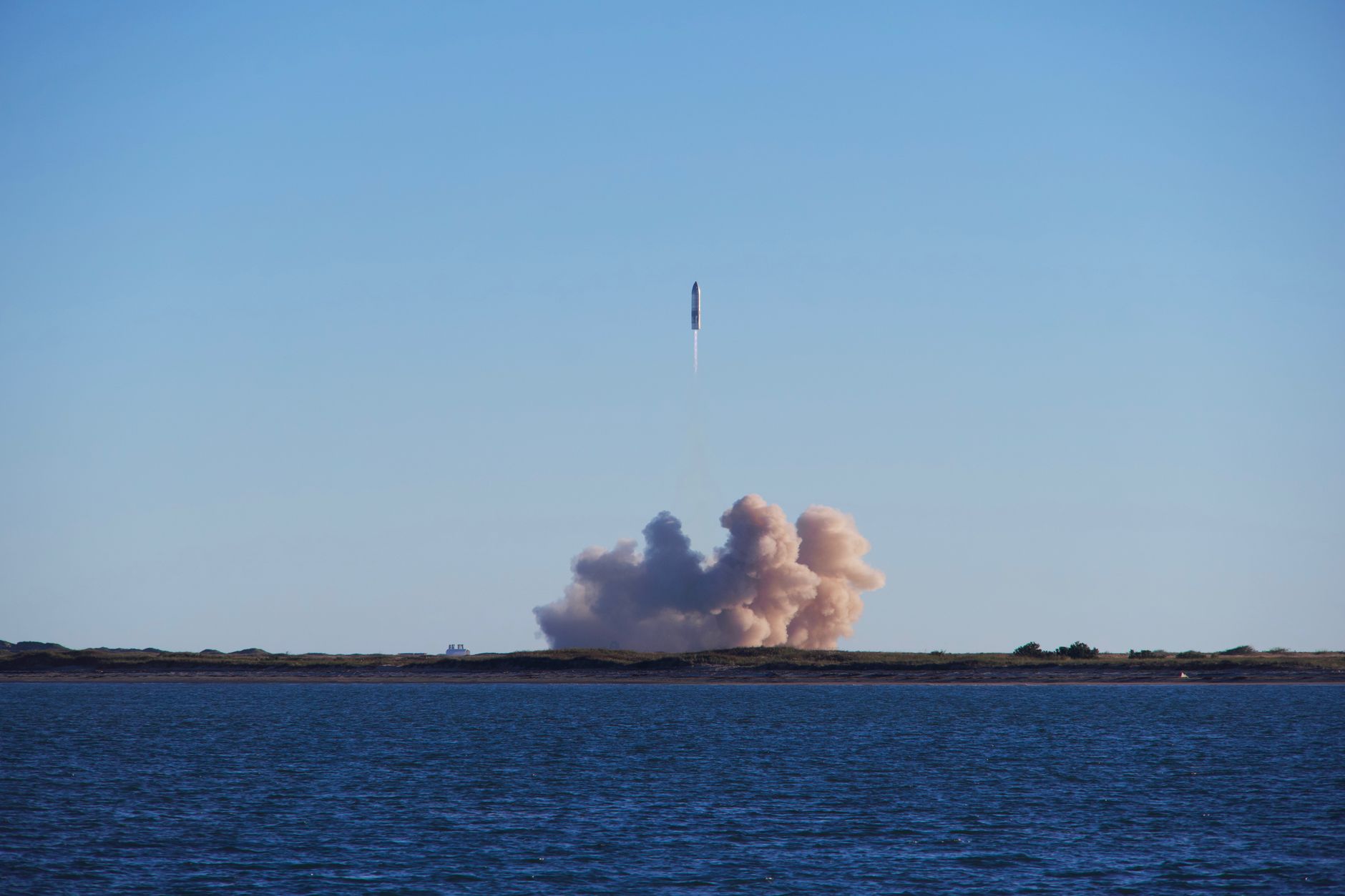
Microsatellite launched has successfully captured images of Earth just 14 hours after its deployment aboard the Nuri rocket. This achievement marks a significant milestone in space exploration.
Overview of the Microsatellite Launch
The recent launch of the microsatellite marks a significant milestone in Earth observation technology. This innovative satellite was successfully deployed aboard the Nuri (KSLV-II) rocket, demonstrating the capabilities of modern aerospace engineering.
About 14 hours after its launch, the microsatellite sent back its first images of Earth, showcasing its advanced imaging technology. This rapid response time is crucial for various applications, including environmental monitoring and disaster management.
The launch highlights several key features of the microsatellite:
- High-resolution imaging: The microsatellite is equipped with state-of-the-art sensors that allow it to capture detailed images of the Earth’s surface.
- Compact design: Its small size enables easier deployment and cost-effective production, making it accessible for various missions.
- Innovative technology: The satellite leverages the latest advancements in remote sensing, ensuring accurate data collection.
This microsatellite launch is a testament to the ongoing advancements in space technology and the growing importance of satellite imagery in understanding our planet. Experts believe that the data collected will play a vital role in scientific research and practical applications, ranging from urban planning to climate change analysis. As more microsatellites are launched, the potential for enhanced global monitoring continues to expand.
Significance of Earth Imaging
The launch of the microsatellite marks a significant milestone in Earth observation technology. This innovative satellite is designed to capture high-resolution images of the Earth, providing valuable data for various applications. The significance of Earth imaging extends across multiple fields, including environmental monitoring, urban planning, and disaster management.
One of the primary benefits of Earth imaging is its ability to enhance our understanding of climate change. By monitoring changes in land use, vegetation cover, and atmospheric conditions, scientists and researchers can analyze trends and develop strategies to mitigate adverse effects. Furthermore, the detailed images obtained from the microsatellite can aid in assessing deforestation rates and urban sprawl, helping policymakers make informed decisions.
In the realm of disaster management, real-time Earth imaging is crucial for emergency response efforts. The data captured by the microsatellite can provide timely insights into natural disasters such as floods, wildfires, and hurricanes. This information enables first responders to allocate resources effectively and prioritize areas in need of immediate assistance.
Moreover, the microsatellite launched aboard Nuri (KSLV-II) enhances global collaborative efforts in research and development. The images captured will be shared with various organizations, promoting international partnerships aimed at addressing pressing global challenges.
In conclusion, the successful deployment of the microsatellite is not just a technological achievement; it is a critical step forward in our ability to monitor and understand the planet we inhabit.
Technical Details of the Nuri Rocket
The launch of the microsatellite aboard the Nuri rocket marked a significant milestone in space exploration. The Nuri, also known as KSLV-II, is a cutting-edge launch vehicle designed to deliver payloads to low Earth orbit with enhanced efficiency and reliability.
Key technical details of the Nuri rocket include:
- Dimensions: The Nuri stands at an impressive height of 47.2 meters, making it one of the tallest launch vehicles in its class.
- Payload Capacity: It can carry a payload of up to 1.5 tons to a low Earth orbit, enabling it to support a variety of missions, including the deployment of microsatellites.
- Engines: The rocket is powered by a combination of liquid and solid propulsion systems, which provide the necessary thrust for liftoff and orbital insertion.
- Launch Platform: The Nuri was launched from the Naro Space Center, designed specifically for the needs of the Korean space program.
After the microsatellite launched successfully, it began its mission and captured stunning images of Earth approximately 14 hours later. This rapid turnaround showcases the technological advancements inherent in the Nuri rocket’s design and the capabilities of the microsatellite launched aboard it.
Future of Satellite Technology
The recent launch of the microsatellite aboard the Nuri rocket marks a significant milestone in the evolution of satellite technology. As these small but powerful satellites become increasingly prevalent, their capabilities are expanding rapidly, promising a future rich with potential applications.
Microsatellites are redefining the way we observe and understand our planet. With the ability to capture high-resolution images, they are proving to be invaluable tools for various sectors, including environmental monitoring, agriculture, and urban planning. The recent success of the microsatellite launched is a testament to the advancements made in miniaturization and sensor technology.
Experts believe that the future of satellite technology will include:
- Enhanced Data Collection: Microsatellites can be deployed in larger constellations, offering comprehensive coverage and frequent data acquisition.
- Cost-Effectiveness: Smaller satellites require less expensive launch vehicles, making them accessible to a broader range of organizations and countries.
- Rapid Deployment: The speed at which microsatellites can be developed and launched allows for timely responses to emerging issues, such as natural disasters or climate change.
- Innovative Applications: As technology evolves, new applications in telecommunications, Earth observation, and scientific research are likely to emerge.
The successful microsatellite launched not only highlights current capabilities but also paves the way for future innovations in satellite technology.
The microsatellite launched has already begun transmitting stunning images of our planet, showcasing its advanced imaging capabilities. As the microsatellite launched continues its mission, scientists are eager to analyze the data it collects for various environmental studies.
Photo by Forest Katsch on Pexels